
Walk a Meridian Street by Address
A useful street-by-street search separates ownership from occupancy. Ada County can connect an address to a parcel and its record owner, while a deed can show how title moved. Neither source proves that every owner lives at the site. Voter records and old directories may add evidence of residence, but access and coverage differ. Keep the address, parcel number, legal description, and source date together as the search moves from one system to the next.
- Normalize the full address and unit with the USPS lookup. A postal result confirms a delivery label, not a person at the address.
- Search the Ada County Assessor by all or part of the address. Save the parcel number, situs address, owner display, subdivision, and assessment year.
- Open AdaMaps and inspect the parcel shape. Click each nearby lot separately when the goal is to study a whole street segment.
- Move the parcel, owner, and legal description into the Recorder index. Follow grantor and grantee names through recorded transfers.
- Check permitted voter information and regional address directories only for lawful personal research. Treat each as supporting evidence, not a complete household roster.
The sequence matters. A street name may be shared by many parcels, while a legal description stays tied to the land even when postal wording changes. For a modern by-address search, the parcel number is often the cleanest bridge among the Assessor, GIS, Recorder, and city permit systems.
Meridian Street Directory Search Fields
The Ada County Property Lookup accepts a partial or full address, parcel number, subdivision, and assessment year. Its public instructions give partial-address examples and sort results by relevance. The current year is the default, but a prior or future assessment year may help when a parcel split or new subdivision changed the result. The Assessor says public owner-name searching is unavailable even though the parcel detail can display an owner after another key finds the property.
| Search field | Input | Required | Meridian use |
|---|---|---|---|
| Address | Full or partial text | No | Number, direction, street, type, and unit can narrow a match. |
| Parcel number | Full or partial ID | No | Use the exact value returned by the map or parcel detail. |
| Assessment year | Year selection | No | Current is default; other years may show a changed parcel. |
| Subdivision | Full or partial name | No | Useful when one street name crosses several recorded plats. |
| Parcel tracking | Browse or filter | No | Shows plats, splits, and combinations that explain address changes. |
The public data updates nightly, while newly recorded documents may take several business days to reach a parcel record. The physical or situs address and the owner's mailing address are separate fields. A mailing address can lead to another record, but it does not show where the owner sleeps or who else uses the Meridian parcel.
The captured assessor address-search screen shows the actual public entry point used for a Meridian street directory search.
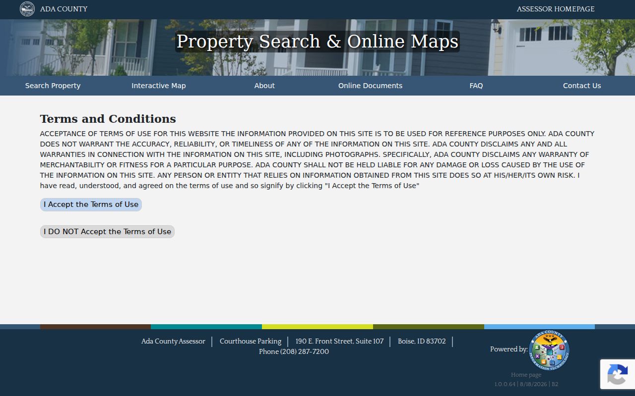
Its address and parcel routes make it possible to start with the land before moving to names in other official indexes.
Records Along a Meridian Street
No single Meridian source holds every name tied to an address. Each record set captures a different legal, civic, or historical relationship. Use the source date and the kind of relationship shown, then compare at least two records before treating a name as part of an address history.
| Address key | Official source | Evidence returned | Access and reach |
|---|---|---|---|
| Street or parcel | Ada County Assessor | Record owner, situs and mailing fields, value, subdivision, tax history | Public web search and office terminals; nightly updates |
| Parcel geometry | AdaMaps | Nearby parcels, address parts, ZIP, section, subdivision, acreage | Public reference map and GIS service |
| Legal description | Ada County Recorder | Transfer parties, instruments, plats, deeds, and chronology | Online index from 1982; copies and older books through the office |
| Permit address | Meridian Citizen Access | Permits, inspections, certificates, project status, public applicant fields | Public portal; exact historical coverage is not published |
| Voter residence | VoteIdaho and report request | Permitted registration, address, district, and participation fields | Dynamic lookup or controlled report; no free street-browse mode documented |
| Old address | Regional directories and newspapers | Names, occupations, address entries, and notices | Library, FamilySearch, archives, and microfilm with year gaps |
The strongest link is often the parcel or legal description, not the typed street line. It keeps the record chain stable across annexation, plat changes, postal realignment, and differences among city and county systems.
Map Meridian Parcels Along Streets
AdaMaps adds the shape and position that a plain address result lacks. Zoom to a street, click a parcel polygon, and save its parcel label. Then click each touching polygon and open its detail on its own. The connected GIS layer includes primary and secondary owner fields, split address fields, parcel year, ZIP, acreage, section, subdivision, value, and geometry. It supports spatial filters and pagination, with an observed display or query limit of 2,000 records.
- Parcel
- A county identifier for a unit of assessed land. One postal address can involve more than one parcel.
- Situs address
- The physical address assigned to the property, distinct from the owner's tax-mail address.
- Plat
- A recorded map that sets out lots, blocks, streets, and other land divisions.
- Criss-cross directory
- A directory arranged by address or street, allowing an address to lead to a listed name.
AdaMaps is for reference, not a boundary survey. Ada County also restricts bulk mailing-list uses of public records. For a street-by-street project, inspect a reasonable set of parcels one at a time and preserve the date of each result.
Follow Meridian Deeds by Street
The Ada County Official Records Search turns a parcel result into a title trail. Search the current owner as grantee, which means the party receiving an interest. Open the likely acquisition entry, note the grantor who transferred it, then search that seller as a prior grantee. Instrument number, book and page, parcel, legal-description fields, recording dates, and document type can separate similar names.
The index notice observed in August 2026 covered January 1, 1982 through August 9, 2026, and weekday updates run nightly. Many deed and related image types can be blocked from online viewing even when their index entries are visible. Ada County directs copy requests to the Recorder by email, phone, or the Boise counter. Copies are listed at $1 per page and certification at $1 per document. Pre-1982 research also moves to the office, deed books, library, or archive.
The manifest's Recorder search capture preserves the field layout used to connect Meridian parcels with recorded instruments.
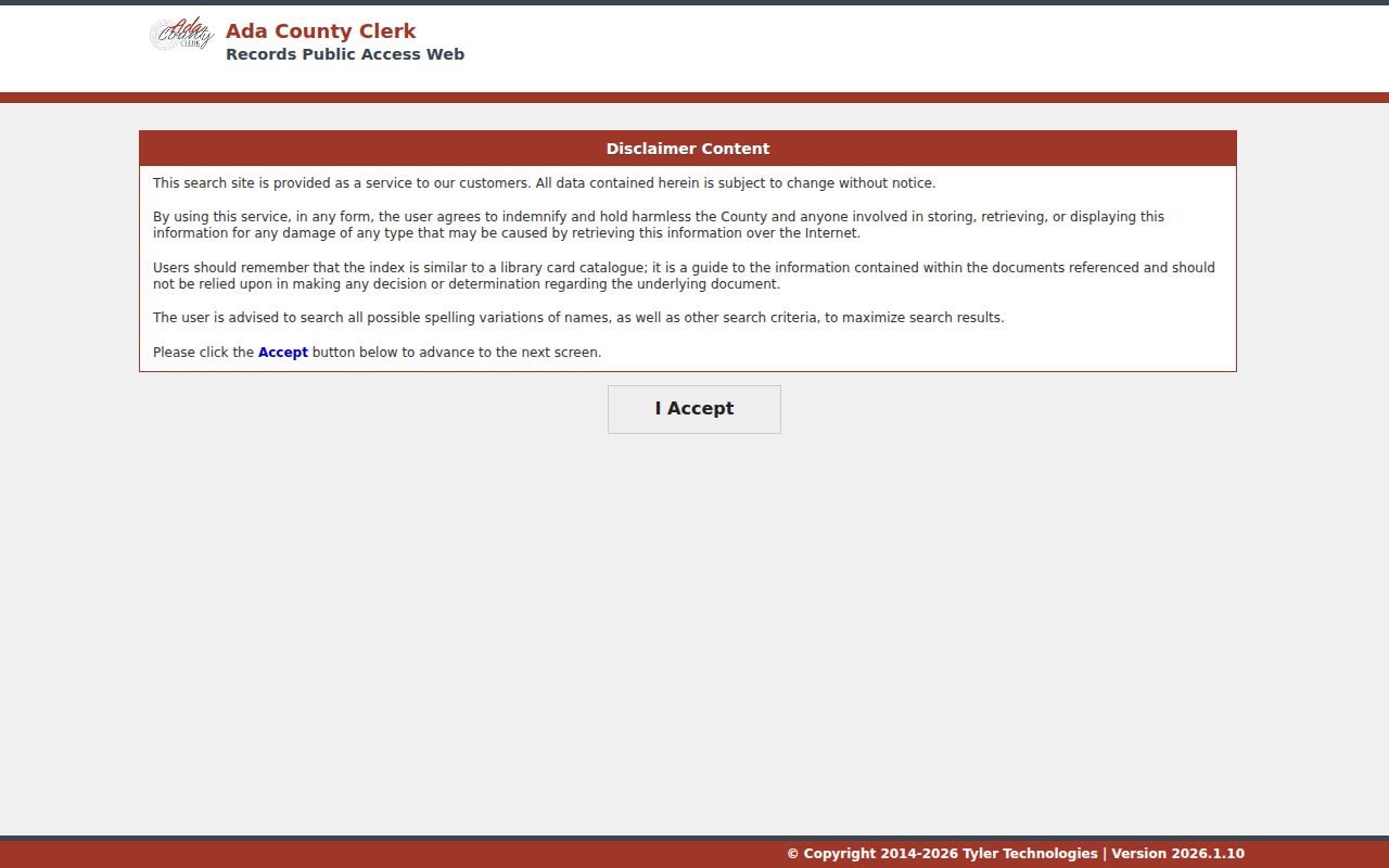
The party, date, instrument, parcel, and legal-description controls support a narrow search when a broad street name produces noise.
Meridian Owner Search Has Limits
A common assumption is that the assessor offers a public reverse search by owner name. Ada County's FAQ says it does not. The practical route is address, parcel, subdivision, or GIS first. Once the correct parcel opens, its detail may show the primary owner and a second owner. This detail prevents a stalled by-address search.
Do not treat a home-exemption flag, mailing address, or owner display as a list of current residents. Each describes the assessment record. If the search goal changes to confirming one named person rather than studying addresses along a street, use the site's resident search workflow instead of forcing the parcel roll to answer a different question.
Note: Search a Meridian address or parcel first; the public Assessor website does not provide a general owner-name lookup.
Meridian Street Permits and Projects
Meridian Citizen Access can add permits, certificates, inspections, receipts, status, and public project fields to an address record. Its documented workflow includes General Search, Record Info, Inspections, and Address or Parcel Verification. A free account can expand some search activity, but the exact old-date reach and anonymous result columns were not published in the inspected sources.
ProjectDox holds project drawings, approved plans, comments, and status within a project workflow. Laserfiche offers public browsing for selected council materials, ordinances, land-use projects, agreements, and parks records. If no portal result appears, the Meridian City Clerk records hub and its request form are the fallback. The city states that an initial response comes within three business days; unusually large requests can incur charges after two staff hours or 100 pages.
A permit date proves that an application, inspection, or work record existed. It does not prove that the named applicant owned or lived at the Meridian address. Match it to the parcel and deed record before adding it to a street timeline.
Meridian Street Voter Records
Idaho voter records can include permitted identifying, residence, mailing, district, party, and participation fields under state law. Participation means whether a voter took part, not how anyone voted. Registration cards, full birth dates, ID numbers, signatures, ballot choices, and protected Address Confidentiality Program locations are not public.
The current VoteIdaho tool does not document a free button that lists everyone on a street. A full report request uses defined statewide, congressional, or legislative scope, delivery choices, fees, and a statutory use certification. That makes the voter layer supporting evidence, not a browseable household list. Never infer household members from one registration record.
Meridian Street Names Cross Systems
Mailing city, ZIP, incorporated boundary, area of city impact, road jurisdiction, and legal description are different forms of geography. USPS controls the delivery label. Meridian GIS shows city boundaries and zoning, while Ada County maps parcel and impact-area context. ACHD maintains city roads, sidewalks, and traffic signals, and Meridian maintains streetlights. A search can therefore land with several custodians without any record being wrong.
No official source verified one Meridian-wide street-renumbering year. Preserve an old address exactly as printed. Search the directory or newspaper spelling, find the old lot and block or section description, then bridge it to a modern parcel through a plat or recorded instrument. Recorder document types for Meridian annexations, ordinances, vacations, zoning, rights of way, and plats can explain why a record moved between jurisdictions.
ZIP history can also break a naive address search. USPS moved 11,716 deliveries from 83642 into the new 83646 area in 2006, then moved 270 deliveries from 83646 to Kuna 83634 in 2008. An older address line may be accurate for its date even when today's lookup returns another ZIP.
Older Meridian Street Directory Clues
Historical address work uses the Boise and Ada regional directory shelf, Meridian newspapers, census schedules, and maps as a set. The Idaho directory inventory tells Meridian researchers to “See Boise,” so a Meridian-only catalog query can miss the volume. No verified standalone Meridian criss-cross run was located. Check whether a regional volume has a street section before assuming it can be searched by address.
The Meridian Times has surviving newspaper access, and University of Idaho microfilm coverage runs from 1909 through 1999. Federal census releases currently reach 1950 under the 72-year rule. Pair an address entry with the adjacent directory year, a deed, census page, obituary, or cemetery record. The collections and their reading methods belong on the Meridian city directory page; here they serve only as the older street layer.
Survey Corners Behind Meridian Streets
Ada County's corner-record map can bridge a hard legal description to the survey grid behind a Meridian street. A corner-perpetuation record documents a survey point, not a deed or resident. Search by instrument number or township, range, and section. A selected point can show the record date, surveyor, grid fields, comments, and more than one instrument for the same corner.
The imaging project began in September 1998, completed its first pass in February 2001, and added TIFF updates from November 2007 through May 2011. The conversion inventory counted 6,545 records and 6,726 image files. Originals remain available at the Ada County Surveyor's office. Use this detail when plats, deeds, and the modern street line do not align, then return to the Recorder for ownership evidence.
Limits of Meridian Street Records
Official address records show parcels, record owners, transfers, permits, postal labels, and limited registration facts. They do not reveal every person who lives at a property. Non-owner household members, protected voters, sealed parties, utility customers, delivery records, and private association rosters remain outside a public street directory. Maps also cannot prove exact legal boundaries unless a survey does so.
Use record dates and source labels in all notes. A current parcel detail may lag a new recording, an old directory can omit a person, and a postal city may differ from legal city limits. The safe conclusion is narrow: state what the official record shows, when it showed it, and what it cannot establish.
Lawful use. Meridian address records support family research, property history, civic questions, and scam checks. Never use them to stalk, harass, threaten, or harm anyone.