
Meridian Neighbors by Public Source
Public records describe a Meridian block in layers. AdaMaps outlines the land and links a parcel to an address. The assessor gives the record owner and mailing field. The Recorder can establish how title passed. VoteIdaho answers a limited registration question, while City maps place an address in a watch polygon or council district. No source is a complete household list.
| Source | What It Shows About a Block | Access |
|---|---|---|
| AdaMaps parcels | Parcel polygons, situs address and nearby land | Free public map |
| Ada Property Lookup | Record owner, mailing address, parcel and subdivision | Free by address or parcel |
| Ada Recorder | Deed parties, legal description and transfer date | Index from 1982; copies vary |
| VoteIdaho | Public registration fields for a specific match | Lookup and controlled reports |
| Neighborhood Watch map | Watch or HOA polygon where the City has one | Public page and GIS layer |
| Council district map | One of six civic districts for an address | Public address map |
The owner shown on a parcel is not always an occupant. A mailing address may point elsewhere, and non-owner residents do not appear on the parcel roll. Treat map adjacency as a fact about land, not a claim about personal ties.
Choose the layer from the question. Use parcel geometry to identify touching land, the assessor detail for the tax-roll owner, the Recorder for title instruments, and the City map for civic boundaries. If one field conflicts with another, keep both labels and dates. The legal description controls the deed chain, while a parcel map is a reference tool and not a survey.
Separate Meridian Land From People
A parcel is a mapped unit of land. Its situs address names the physical place, while the owner's mailing address is where tax mail goes. An owner may live elsewhere. A home-exemption flag is an assessment field, not proof of daily presence or household makeup. Trust the deed for title and the map for location, but do not make either source say who sleeps at an address.
Subdivision and section fields can show that parcels share recorded geography. They do not prove that the homes share an association, watch group, or social bond. The exact legal description is the best bridge between assessor detail and a recorded deed.
Map a Meridian Block Outward
Start from one normalized street address and expand only to the parcels that touch it or sit within the immediate block. AdaMaps supports the visual browse. Its public service can also use spatial geometry queries, but one-address research is safer and clearer than bulk extraction.
- Normalize the address and find its situs parcel in AdaMaps.
- Click the polygon, note its parcel number and label, then pan to each touching polygon.
- Open every nearby parcel separately. Record owner display, mailing address, subdivision, section, and exemption field without inferring occupancy.
- Use the parcel number and legal description in the Recorder when an ownership timeline is needed.
- Keep physical adjacency, subdivision membership, and watch-area membership in separate columns.
The parcel layer pictured below is the geographic base for the process. Open the Ada County parcel GIS layer to review its live description.
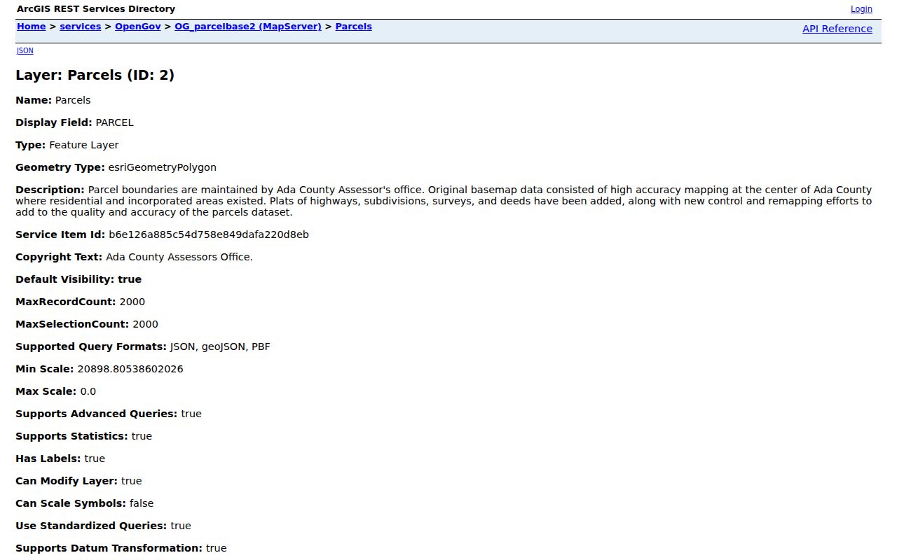
The polygon establishes nearby land. For a whole named road rather than the immediate block, use the Meridian street directory workflow.
Compare Meridian Neighbor Deeds
When ownership history matters, search each parcel as its own chain. Take the current owner and legal description from the assessor. In the Ada County Recorder index, search that person as grantee or in both names, then record the instrument number, recording date, grantor, grantee, document type, and legal description.
A seller or grantor can lead to the prior deed. Repeat backward only while the legal description stays matched. Deeds of trust, liens, easements, and covenants can explain a parcel record but do not by themselves prove a sale. Pre-1982 documents require the Recorder's books, indexes, microfilm, or office access because the online notice begins in 1982.
Meridian Neighborhood Watch Boundaries
The City verifies a community layer through its Neighborhood Watch page. Its GIS service includes polygons with an HOA name field where a mapped group exists. Crime Prevention can be reached at 208-846-7300, option 4. The map does not publish member names, household rosters, or resident contact lists.
The official page shown below is the right place to check a current watch-area description.
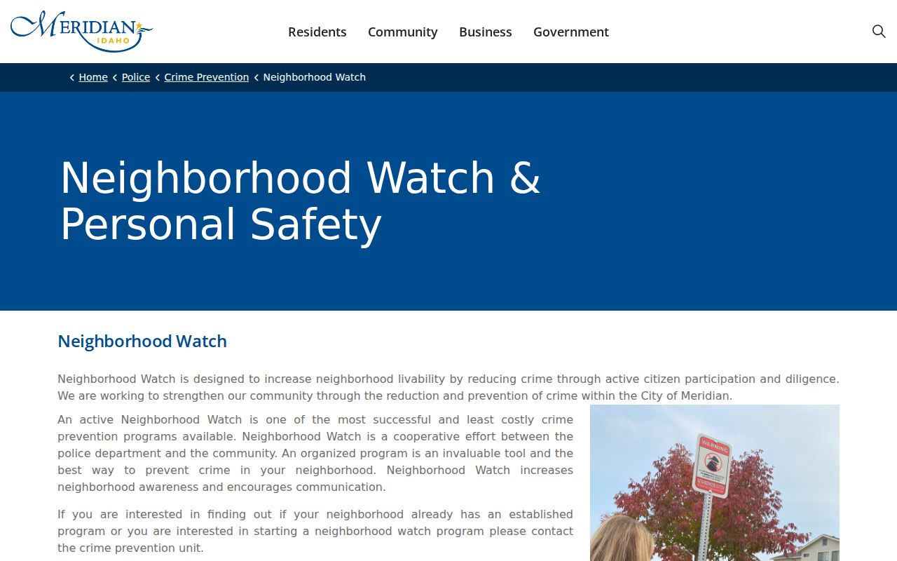
A polygon identifies a civic area, not every person within it. No official citywide HOA directory was found, so private rosters should remain private unless an association publishes its own contact.
Meridian Crime Prevention
Neighborhood Watch information and mapped active areas
208-846-7300, option 4
Ada County Assessor
Parcel and ownership fields by address or parcel number
A watch name can still help route a civic question. Contact Crime Prevention about the official program, then use City meeting records or a public association page only when one is actually published. Do not ask the City for a private member roster that its map does not provide.
Place Meridian Neighbors Civically
Meridian has six council districts. The City Council district page provides an address-search map that places a home in its civic district. District identity helps with council representation and meeting records. It is not a directory of residents.
The captured district page gives the official civic frame.
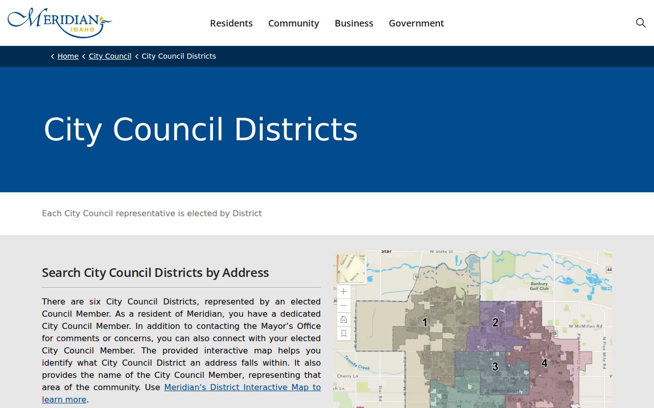
Keep the district result beside, not merged with, the parcel and watch-area results. These maps answer different questions.
Meridian Voter Data by Block
Idaho public voter data can include a name, residence and mailing address, county, age rather than full birth date, gender, phone where supplied, party, and participation history. It does not expose ballot choices, a registration-card image, signature, full birth date, identification numbers, or an Address Confidentiality Program address.
The VoteIdaho web lookup is not documented as a free browse of all voters on one Meridian block. A state voter-file report can be ordered with a geographic scope, fee, delivery choice, date range, and certification. Idaho Code §34-437A restricts use of the data and bars creating an ordinary solicitation list. Use a public match only to answer a specific registration question.
Myth: Participation history shows that a person took part. It never shows which candidates or measures that person chose.
Official Meridian Neighbor Evidence
Official records are strongest when their scope is kept intact. Commercial neighbor tools combine sources and can carry stale addresses or join people with the same name. They should never replace the current custodian record.
| Source Type | Strength | Limit |
|---|---|---|
| Official parcel and deed records | Current custodian fields and recorded title | Owners are not all occupants |
| Official civic maps | Current mapped district or watch polygon | No household roster |
| Commercial compilation | May gather many old clues | Matching, date, and accuracy can be unclear |
For Meridian neighbors, cite the parcel, deed, registration record, or City map that supports the claim. If two sources conflict, use the live office record and ask its custodian how the field is maintained.
Trace Old Meridian Neighbors
Historical blocks need dated sources. Regional Boise city directories may include Meridian entries, while old street pages and criss-cross listings can place names near an address. The Meridian Times, census schedules, Recorder deeds, and Sanborn maps from 1907 and 1923 can add a household, building footprint, or legal notice.
Do not force an old address into today's map. Postal, parcel, and city boundaries can change. AdaMaps, City GIS, highway district maps, USPS records, and city limits each describe a different geography. Match the source year and retain the street spelling and ZIP that appeared at that time.
Directory shelves may be cataloged under Boise rather than Meridian, so a Meridian-only search can miss the right regional volume. University of Idaho Special Collections is the key fallback for telephone and business directories and microfilm. Ask for the exact year and whether Meridian appears in the Boise run. The Idaho State Historical Society adds regional directories, reconstructed census material, naturalization records, and historical indexes.
For each old neighbor, build a dated row with the source, printed address, name, and role. A directory entry can suggest an occupant, a census can identify a household at its enumeration date, and a deed can identify title. Newspaper legal notices may connect the block to probate or a sale. None should silently replace another.
Privacy for Meridian Neighbors
Parcel data does not name every non-owner occupant. Utility accounts, delivery data, driver information, protected voter addresses, and private association memberships are not a public block directory. A missing person may be protected or simply outside the scope of the source. Do not infer a household from a shared surname or mailing address.
Public access supports civic curiosity, family history, a lawful reunion, and personal safety. It does not grant permission to monitor a person's movements, publish a protected address, or compile a contact list. Accept redactions and private rosters as firm boundaries.
Idaho's Address Confidentiality Program protects qualifying address data in covered systems. Voter files also withhold sensitive identification fields and the registration card itself. A map blank, a mailing address outside Meridian, or a missing voter match may have a lawful explanation. It is not an invitation to search private delivery, utility, or driver records.
When a public field appears wrong, contact the office that maintains it. The assessor handles assessment fields, the Recorder handles instruments, and the City maintains its civic maps. Keeping corrections with the custodian prevents an old commercial compilation from being treated as a fresh block record.
Lawful use. Learn about Meridian neighbors only for lawful personal purposes. Never use a record to stalk, harass, threaten, or harm anyone.